Mapping River Dog Mouth, Mobile Alabama
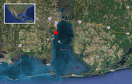
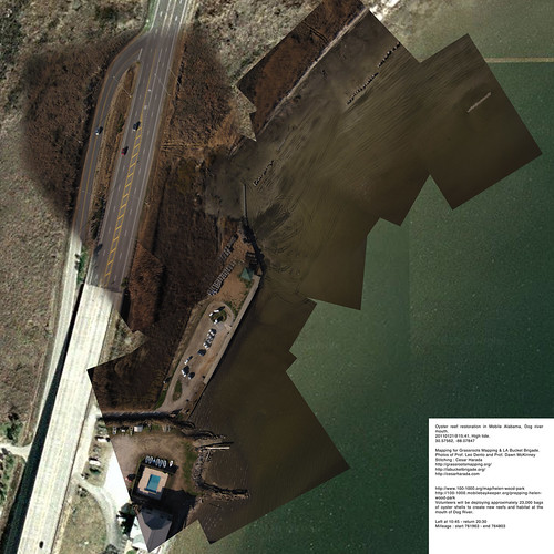
January 24th, 2011 by Cesar HaradaYesterday we went aerial mapping a landscape that is just about to change radically : restoration of the oyster reef in Mobile Alabama, Dog river mouth – known as Helen Wood Park beach. In two hours from now (2011 January 22 6AM), hundreds of volunteers will come to install a massive oyster reef here. From 8AM today “Volunteers will be deploying approximately 23,000 bags of oyster shells to create new reefs and habitat at the mouth of Dog River” – see them in action here .
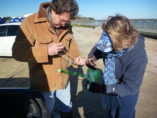
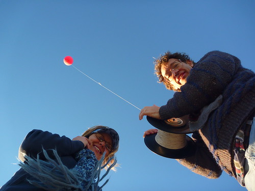
Aerial mapping Prof. Dawn McKinney & Prof. Leo Denton of the University of Mobile South Alabama. Thanks to Shannon Dosemagen for organizing the trip.
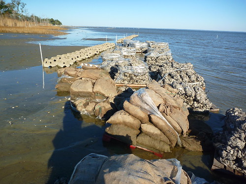
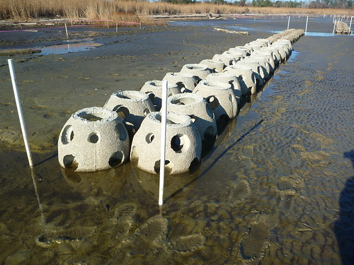
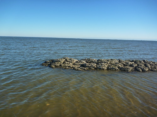
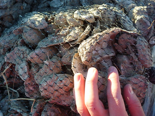
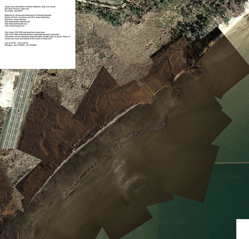
These are the different reefs and bags of oyster they are installing. 5 non-profit organizations are working together to accomplish this massive landscaping project.
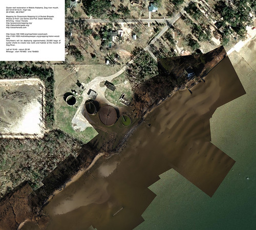
We took about 5000 aerial pictures that I turned into 3 very large resolution maps to make one huge map (at the top of the post):
Download these full resolution maps to your computer as .zip file (27mb). If you want to learn how to make one of these map, check this post.
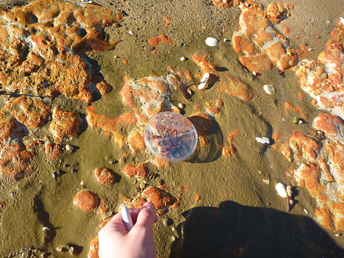
This time, in addition of aerial photography, I also took ground samples (~250x microscopy), sand, sediment, organic material taken at regular interval. The idea is : if we are able to say what is on the ground – sometimes we may find oil spilled still – we can qualify and quantify what we see on the aerial pictures. We will come back in a few weeks to map again and see the effects of installing an artificial oyster reef here : “before and after” 🙂
—
Original blog post : http://cesarharada.posterous.com/mapping-river-dog-mouth-mobile-alabama
date : 20110121@15:41, low-tide.
Location : 30.57562, -88.07847
Mapping for Grassroots Mapping & LA Bucket Brigade.
Photos : Prof. Leo Denton and Prof. Dawn McKinney
Stitching : Cesar Harada
Left at 10:45 – return 20:30
Milleage : start 761963 – end 764803
Tags: Aerial, Alabama, Balloon, Bottle, Cesar, Dawn, Denton, DIY, Dosemagen, GM, Harada, Jeff, Leo, mapping, McKinney, mobile, Photo, Photography, Prof, Shannon, Soda, South, University, Warren, Yoo


