University of South Alabama oil mapping curriculum
January 10th, 2011 by Cesar HaradaThis post was written by Christopher Johnson, a student at South Alabama University that participated in the Grassroots Mapping project in Alabama.
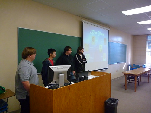
Hello! My name is Christopher Johnson, and I was one of the University of South Alabama (USA) students to participate in the Grassroots Mapping project in Professor Dawn McKinney‘s Computer Science class. It was a bit weird to go outside and do a project, since our majors are all computer-related, but I think in the long run the class was better for it.
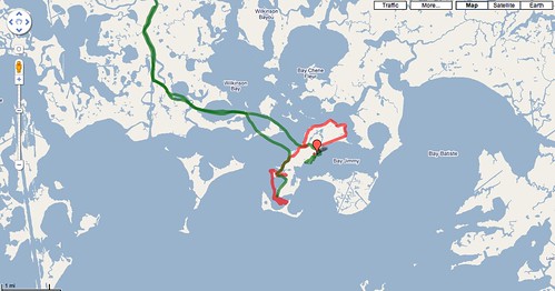
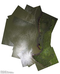
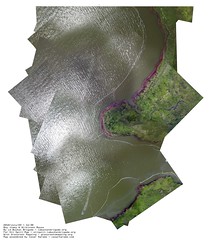
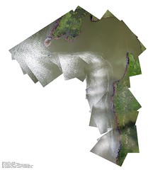
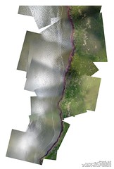
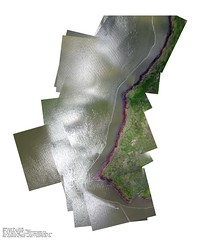
Basically we were broken into teams of around six, each team having at least two of each major: CS, IT, and IS (not our actual majors; we were assigned a major for each third of the course, which we rotated). We had to work in teams to stitch together parts of Dauphin Island using Cartagen, among a few other things essential to the Freshman course.
Most of the technical problems came with Cartagen being down for a short period and unusable pictures – the nice sea breeze can be a difficult adversary. Another difficulty was overcoming the challenges we created ourselves, such as arguments within the group and people not showing up for class.
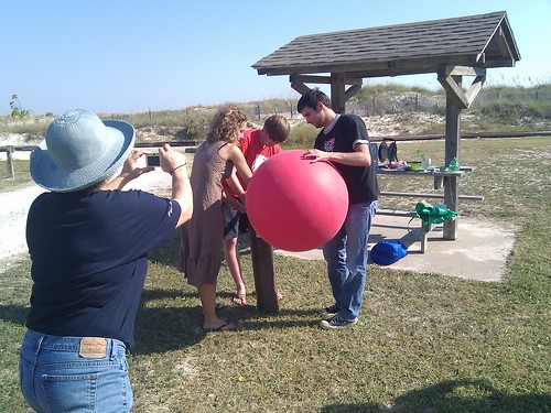
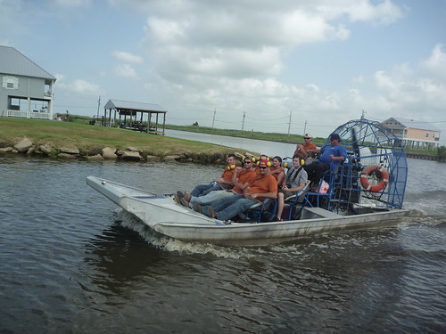
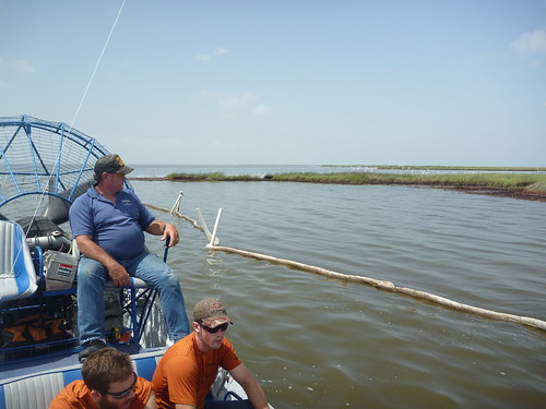
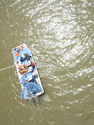
Overall it was a very good learning experience; I was one of those who went to Dauphin Island (taking the pictures was optional), and we had a lot of fun. I’d definitely do it again, given the opportunity, and I recommend that everybody go out there and try to make a difference. It’s more fun than you think, and you can really make a difference in your community!

