
Post-oil spill observation trip at Bay Jimmy, LA
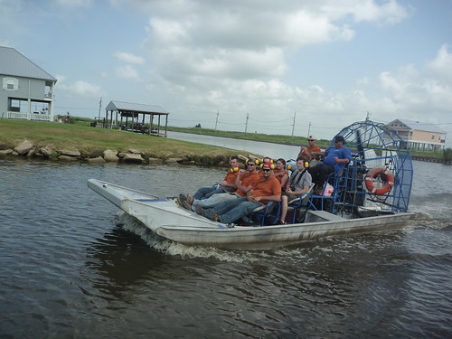
July 31st, 2010 by Cesar HaradaHi, Cesar Harada here, first post and first map using the techniques of Grassrootsmapping.org for LA Bucket Brigade – thanks guys for putting this wonderful DIY technology together. So! In the late morning 22nd of July 2010, Hunter Daniel and myself went to map out of Port Sulphur, on these funky boats :
With 2 boats we took this route (see google map) :
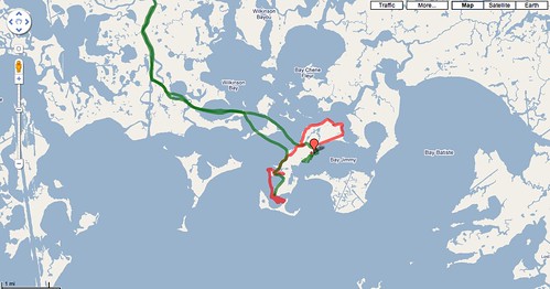
I traced this route with my mobile phone Google Nexus One and the fantabulous Open GPS tracker for Android – 4 stars rating!
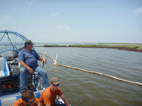
This is what we could see from the boat, kinda boring :
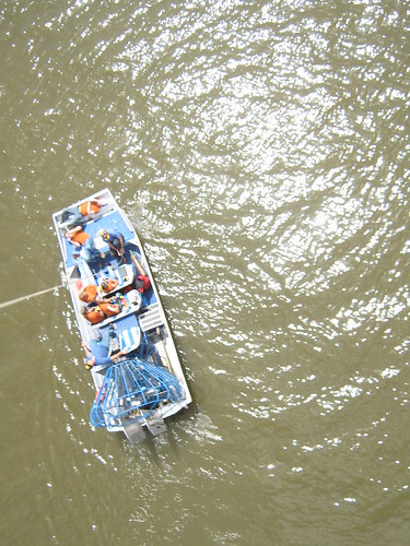
Soon after I launched a balloon and Hunter a kite out there, kinda exciting :
we captured nice pictures, here 6 details :
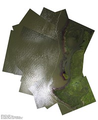

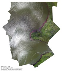
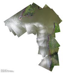
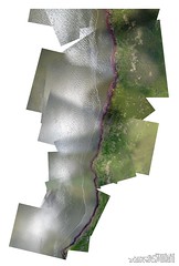
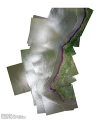
These 6 pictures were made using 270 stills… that was a 12 hours work on photoshop since hugin (an open-source photo mosaic software) didnt do the trick – yet :/ Still working on it to automate the process and spend more time sipping mango juice 🙂
Read the rest of this entry »


