Grassroots Mapping is a series of participatory mapping projects involving communities in cartographic dispute. Seeking to invert the traditional power structure of cartography, the grassroots mappers used helium balloons and kites to loft their own “community satellites” made with inexpensive digital cameras.
At Public Lab, we've grown the Grassroots Mapping community into a broader effort to enable communities to understand and respond to environmental threats with DIY techniques.
We're a neighborhood group in East Providence, RI with houses adjacent to a large construction waste grinding business. Toxic dust was filtering into our homes and yards from the plant. Many in the neighborhood suffer from respiratory and other health problems thought to be associated with the dust.
That tree between the pines likes to fly kites. I was a little upset with it because it was my kite. The tree finally got bored after about 45 minutes and let go so I am not too upset. It took me a couple of hours to find the kite but when I did there was absolutely no damage to it. I love Tyvek! The wind was very gusty and the line got snagged by the tree during an extended lull.
Wintercamp activities included working on simplifying the kite build. From the left. A pocket for the spar spreader that we were not really happy with. Next is the mini-caribener and pex plastic pipe. This was the standard attachment. The solution we arrived with eliminated the additional parts. Next are 3 mock-ups of folded pockets. The last item is the almost final form.
Public Lab's balloon- and kite-based mapping approach is a new way to take aerial images from the ground. However, there are some considerations and things that can be learned from a few map stories.
Each map project has distinct characteristics in its time, place, and local atmospheric conditions. Here are several examples of how those factors make each balloon and kite map unique.
An ordinary looking concrete slab in Brooklyn - what story does it really tell ?
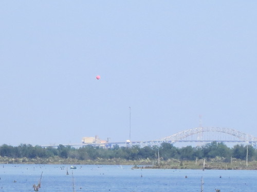
"To balloon or to kite, that is the question.."
Just after Independence Day 2012, the “Over My Dead Body” balloon mapping expedition set out to capture high resolution aerials of a very special grave site: America’s first ever military cemetery.
Their site of interest was none other than the fabled Marylander Burial Ground, rumored location of the first soldiers ever to die as Americans in the 1776 War of Independence.
We're going to have to repeat this one. The camera shut down prematurely.
I attribute the failure to the use of duct tape on the camera trigger-- any thoughts on this are appreciated. From looking at the photo sequence, the camera gave out after a wind gust. Still, some interesting shots were taken.
And, in the future, i will be using the Common Ground kayaks, so repeating this day will be easier the second time.
About two months ago, on June 12th, we woke up to the sounds of heavy machinery. Through the window we saw a bulldozer and a crane uprooting olive trees from the area behind our house. We went outside and stood in front of the bulldozer and caused its operator to stop working. The crane continued to work, so we jumped on a tree. By doing so we prevented the work for about a month and saved 1 out of 4 trees that were uprooted at that day.
Parts & Crafts campers worked with me to produce this guide to sample preparation of oil or tar contaminated soil. This covers just the sample prep and how to see fluorescence in samples with a green laser. You'll need to construct a spectrometer to measure the samples' colors and try to identify the contaminant:
Are you embroiled in an cartographic dispute? Do you disagree with the official version of your geography? Contact us through the public mailing list.
Grassroots Mapping is part of the Public Laboratory for Open Technology and Science, founded by a group of activists, educators, technologists, and community organizers interested in new ways to promote action, intervention, and awareness through a participatory research model.
Purchase the Grassroots Mapping Forum, our new community research journal/archive/zine/map, where we hope to share ideas, techniques, and stories from the Grassroots Mapping community. It is printed on a single 22.75x35" newsprint sheet, folded down to just over letter size, and includes a full color reproduction of a grassroots map along with essays, illustrated guides, and interviews on the reverse.
We're helping citizens to use balloons, kites, and other simple and inexpensive tools to produce their own aerial imagery of the spill… documentation that will be essential for environmental and legal use in coming yeas.We believe in complete open access to spill imagery and are releasing all imagery into the public domain.
Techniques and tools for people who want to make maps, on the Public Laboratory wiki. Includes readings and case studies on grassroots mapping projects.


