February 16th, 2013 by dan.beavers
http://publiclaboratory.org/sites/default/files/imagefield_thumbs/IMG_02...
That tree between the pines likes to fly kites. I was a little upset with it because it was my kite. The tree finally got bored after about 45 minutes and let go so I am not too upset. It took me a couple of hours to find the kite but when I did there was absolutely no damage to it. I love Tyvek! The wind was very gusty and the line got snagged by the tree during an extended lull.
Tags: GrassrootsMapping, kite
Posted in DIY kite, easy-cut-delta, gulf-coast, homemade-kites, kite-mapping, mississippi, Picayune, syndicated | No Comments »
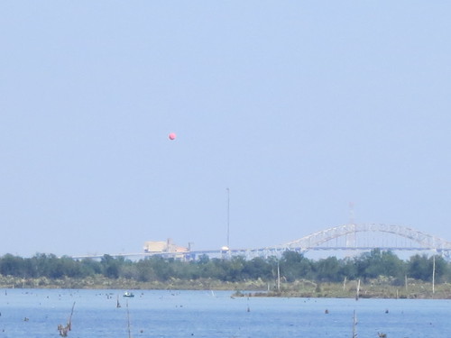
October 7th, 2012 by eustatic
TECHNICAL NOTE AND QUESTION
We're going to have to repeat this one. The camera shut down prematurely.
I attribute the failure to the use of duct tape on the camera trigger-- any thoughts on this are appreciated. From looking at the photo sequence, the camera gave out after a wind gust. Still, some interesting shots were taken.
And, in the future, i will be using the Common Ground kayaks, so repeating this day will be easier the second time.
shannon snaps our flight
read more
Tags: balloon mapping, GrassrootsMapping
Posted in gulf-coast, syndicated | No Comments »
October 4th, 2012 by mathew
This interview is from the summer issue of Grassroots Mapping Forum, our quarterly print publication. Subscribe here.
Shannon Dosemagen sat down with Scott Eustis of the Gulf Restoration Network to discuss the shifting sands and fortunes of the Mississippi Delta and the Chandeleur Islands
Can you tell me a bit about GRN, the work you’re doing with them, mission, some of the work that your co-workers are doing?
read more
Tags: GrassrootsMapping, wetlands
Posted in chandeleur islands, featured, grassroots mapping forum, gulf restoration network, gulf-coast, interview, restoration, syndicated | No Comments »
May 8th, 2012 by Stewart Long
cross-posted from PBS's IdeaLab. How We Got Here: The Road to Public Lab's Map Project
Last week, Public Laboratory announced that public domain maps are now starting to show up on Google Earth and Google Maps. But how did the projects get there? Here's a timeline of a Public Laboratory map project.
MAKING A MAP
read more
Tags: balloon mapping, GrassrootsMapping
Posted in featured, gulf-coast, idealab, kite-mapping, near-infrared-camera, new-york-city, syndicated | No Comments »
January 4th, 2012 by Stewart Long
cross-posted from PBS's IdeaLab. Making maps from balloon and kite flights in the dynamic coastal wetlands areas.
read more
Tags: balloon mapping, GrassrootsMapping
Posted in featured, gulf-coast, syndicated | No Comments »
January 4th, 2012 by Stewart Long
cross-posted from PBS's IdeaLab. Making maps from balloon and kite flights in the dynamic coastal wetlands areas.
read more
Tags: balloon mapping, GrassrootsMapping
Posted in featured, gulf-coast, syndicated | No Comments »


