
Workshop at Fine Gigapixel Imaging conference at Carnegie Mellon
November 14th, 2010 by Jeffrey Warren![]()
Update: I started to stitch the flight imagery together using the Cartagen Knitter — anyone who likes can help out by adjusting and uploading new images: cartagen.org/maps/gigapixel-cmu
We had a great time flying at the workshop I gave on Saturday (above photo courtesy of Andrew A. Wagner); Nathan Craig was there with some kites and I got to check out his very nice kite aerial photography kit. He uses the same electric cable winder I do!
The conference was centered around the GigaPan tool, and so I learned a lot about 3D reconstruction of a scene from image collections… I hope to duplicate some of their techniques to derive 3D terrain maps from our balloon photos!
Here is a link to the entire set of aerial images we shot: gigapixel-workshop.zip (1 Gb)
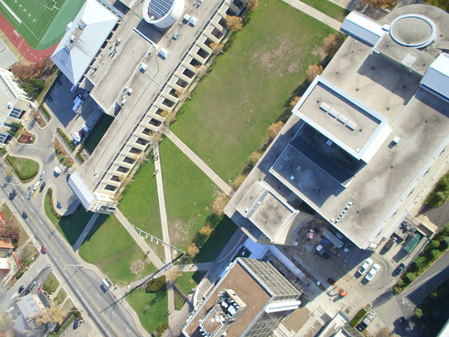
And here’s one of the aerial photos we shot:


November 22nd, 2010 at 10:55 am
Great workshop! I had such a great time. and we were excited that you were there. Thanks for sharing with everyone.
November 28th, 2010 at 8:14 pm
I uploaded some pictures of the launch at http://picasaweb.google.com/pheckbert/BalloonAerialPhotographyWithJeffreyWarren#