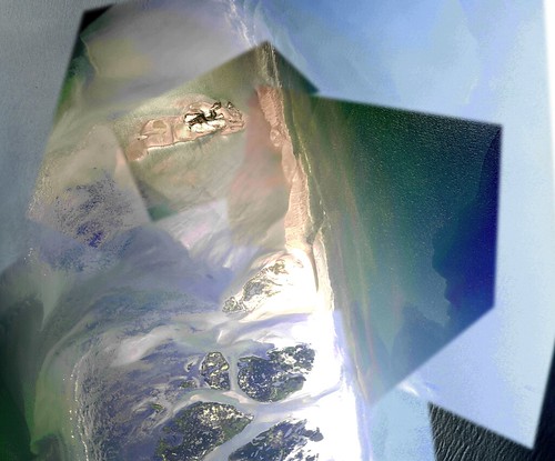
Stitching in progress, video by Kristian Hansen
May 14th, 2010 by Jeffrey WarrenA couple updates: we’re now deep in the stitching process. Above is a preview; we hope to post one or two finished stitches today.
Kris Ansin of Tulane and Louisiana Bucket Brigade is coordinating mapping teams on the ground. (He’s leading a trip today). We’ve had some donations but if you’re able to, please donate to support our efforts. Even $50 will buy us a tank of helium. $100 buys us a new kite.
In the meantime we’ve had some great support from Kristian Hansen of TungstenMonkey, a local production company. Kristian documented our training session last Saturday and has posted an intro video to our project which gets across a lot of information in a very short time. Thanks Kristian!
Grassrooots Mapping: Field Mapping Training from TungstenMonkey on Vimeo.


