
First draft stitched map of Chandeleur
May 15th, 2010 by Jeffrey Warren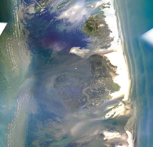
Using imagery from Stewart Long’s May 8th overflight of Chandeleur islands, we’ve stitched together a map layer. A sample is above, and you can view the complete map here:
and it’s also viewable in OpenLayers or in Google Earth as a KML file
For those who want the full geotiff, here it is (522mB)


