
History & Future of Juan Pablo II
January 27th, 2010 by Jeffrey Warren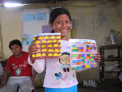
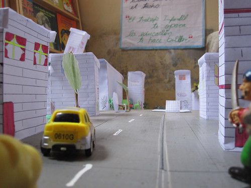
The CEDRO teachers and I were inspired by Jay Silver’s work with Awareness Mapping (watch his presentation here) and so we’ve been doing some paper mapping exercises, though focusing more on history and buildings and such. The ‘history of the community’ project (view on Flickr) went so well that we assigned a ‘future of the community’ assignment and asked kids to bring in maps or drawings of the community in 5-10 years. They came back with some great stuff (see the project on Flickr), and two students went nuts and made a whole scale model of the neighborhood (7 years from now) in 3D!
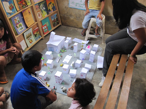
Notice the great attention to detail in multiple story homes. There’s a pharmacy, hair salon, etc. I’ll be uploading more photos of this assignment soon, including a panorama of the model town!
Tags: juanpabloii, lima


January 30th, 2010 at 3:59 pm
[…] and the “future” project. The model of the community in 7 years (as mentioned in a previous post) was especially exciting. See all pictures of the history/future projects on […]