October 18th, 2010 by Liz Barry
* UMO = “unidentified mapping object”

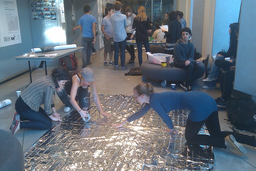
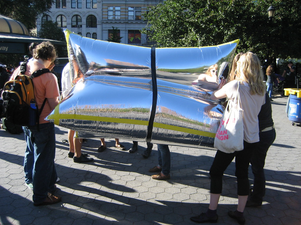
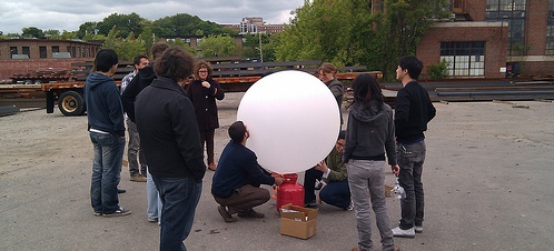
On the morning of Friday October 8th, the Grassroots Mapping public workshop kicked off in the corner gallery on 5th avenue and W 13th Street. We began experimenting with a few types of mylar ranging from 55″ 1 mil rolls to 0.5 mil emergency survival sleep sacks, in shapes ranging from a tetrahedron to what some referred to as the “burrito.” Seams were folded and taped, then pressed with a pen or ID card. We worked all day to assemble four rigs between the two dedicated Parsons/Eugene Lang classes and bring together materials for the exhibit and for Saturday’s workshop. Fun fact: New York taxis will not pick up a 5 foot tall tank of helium.

Read the rest of this entry »
Tags: events
Posted in syndicated | No Comments »
October 4th, 2010 by Liz Barry

This weekend in New York City, public workshops will be held at 2 West 13th Street, in the corner gallery on 5th Avenue. Come out and join us! The exhibit and events are sponsored by Urban Inclusions, a collaboration between Urban Design at Parsons the New School for Design and Urban Studies at Eugene Lang College. Additional thanks to the students of Mapping the City and Street Life.
Friday October 8, 9am-12pm, or 2pm-5pm:
Hack a camera and assemble a rig (2 West 13th Street)
Saturday October 9, 1pm-5pm:
Collect imagery with balloons and kites (2 West 13th Street, Union Square)
Email ebarry at gmail for further information.
(Image above is from a Spring 2010 balloon mapping workshop at RISD)
Tags: events
Posted in syndicated | 1 Comment »
September 29th, 2010 by Jeffrey Warren
I’ll be presenting our work mapping oil in the Gulf of Mexico with LABB as well as mapping with OpenMapsCaucasus at the 2nd International Conference on Crisis Mapping (ICCM 2010) this Friday the 1st of October. This year’s conference is in Boston at Tufts University, and the topic is ‘Haiti and Beyond’
ICCM Agenda
Tags: events
Posted in syndicated | No Comments »
March 7th, 2010 by Jeffrey Warren
For grassroots mapping enthusiasts in the Bay Area, I’ll be speaking at Where 2.0 in San Jose on April 1, presenting the Grassroots Mapping Lima project and talking about our plans for future work. Afterwards, we’ll try to do a demonstration flight at the Where Faire.
Where 2.0 charges admission, but WhereCamp is a free and open ‘unconference’ and I’m hoping to do a workshop there where people can build their own rigs, do test flights, and generally do a bit more hands-on work. More on WhereCamp soon — we’re still finding out if we can fly at Google’s Mountain View campus… they’re the hosts.
Tags: events
Posted in events, syndicated | No Comments »


