What is Grassroots Mapping?
January 27th, 2010 by Jeffrey WarrenA group of activists, educators, technologists, and community organizers now known as Public Laboratory came together to organize the Gulf Oil Mapping project. Since May 2010, we have been working with New Orleans-based Louisiana Bucket Brigade to get Gulf Coast residents out on boats and along beaches to produce high-resolution aerial imagery of the spill’s effects. All the imagery from this project is being released into the public domain
Read more
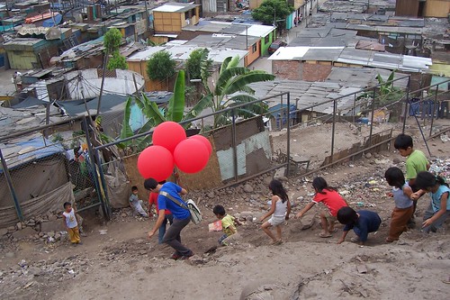
- Learn about balloon mapping here
- Assemble your own kit by reviewing our balloon mapping kit
- Learn about the places we work
- Explore our other low-cost, DIY environmental sensing tools
How it started
Legatum Center at MIT and the Center for Future Civic Media at MIT)