WhereCamp 2010, grassroots map of Google campus
April 9th, 2010 by Jeffrey Warren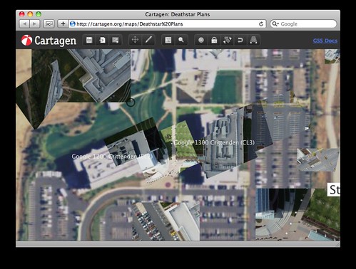
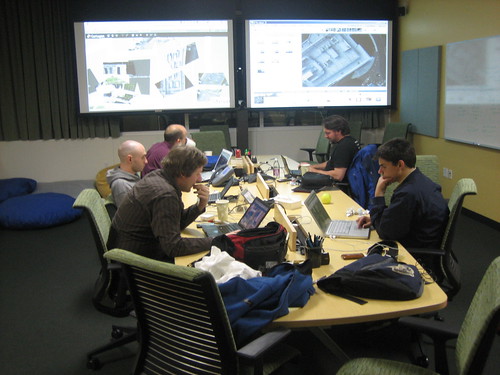
WhereCamp was a blast – lots of people brought kites and such, and we managed to get a pretty good set of photos of the area of the Google campus we were ‘camped’ at (almost entirely due to the expertise and kite-flying of Eric Wolf). I demoed the new Cartagen Knitter and on Saturday night a bunch of us started to knit a map together, called “Deathstar Plans“. Check it out!
Actually it was mostly them (see picture below) trying to knit, and me fielding bugs, new feature requests, and so forth… it was the first time a bunch of people had gotten together to stitch a map at the same time, each on their own laptop. The feedback was great, and I was writing code and publishing it until 3am.
You can now ‘lock’ images you’re done knitting, and the tool is quite a bit more useable. Thanks again to everyone!