Grassroots Mapping is a series of participatory mapping projects involving communities in cartographic dispute. Seeking to invert the traditional power structure of cartography, the grassroots mappers used helium balloons and kites to loft their own “community satellites” made with inexpensive digital cameras.

Oil contamination… from the Exxon Valdez

September 1st, 2010 by Jeffrey Warren

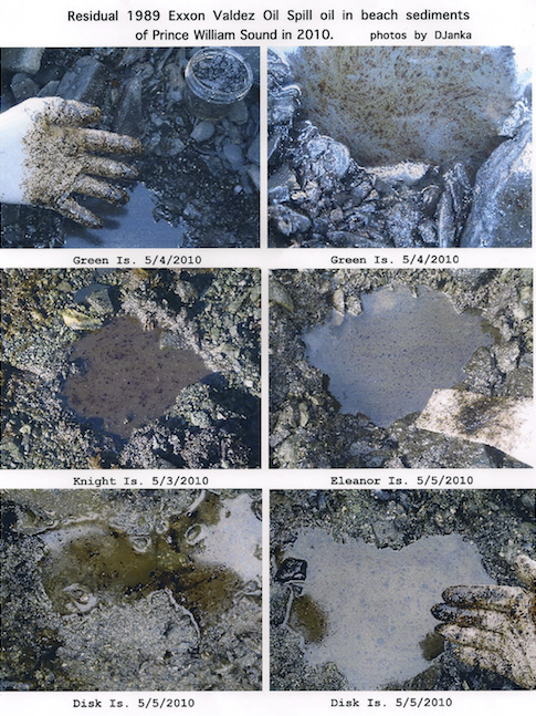
These saddening photos — taken in 2010 — show oil contamination in beach sediments around Prince William Sound, left over from the 1989 Exxon Valdez oil spill, over 20 years ago.

Read more at Prince William Soundkeeper.
Leave a Reply