
Kite towing tests at Grand Isle
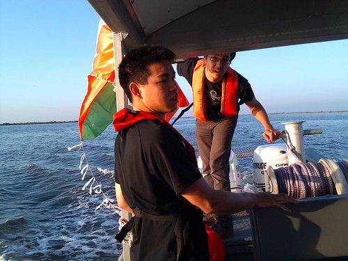
May 7th, 2010 by Jeffrey WarrenHi, all – just posting some quick photos from our tests yesterday; i’ll post text ASAP, but just want to get these out there!
If anyone has a boat to get to Chandeleur, please contact me at 415 508 6769 or email the mailing list!
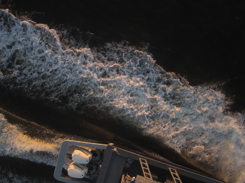
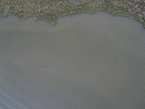
An example of the kind of imagery we want to be taking, albeit in better light:
More pictures on Flickr (I’ll post links to full res soon but you have to be a Flickr member for now)


May 29th, 2010 at 4:18 am
[…] it worked. The light was failing however and we did not get a lot of imagery. That stuff was posted this morning (gosh it seems like a million years […]
September 14th, 2012 at 10:25 am
[…] it worked. The light was failing however and we did not get a lot of imagery. That stuff was posted this morning (gosh it seems like a million years […]
January 2nd, 2013 at 9:52 pm
[…] it worked. The light was failing however and we did not get a lot of imagery. That stuff was posted this morning (gosh it seems like a million years […]