NuVu student project presentations
April 30th, 2010 by Jeffrey Warren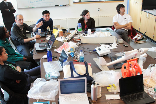
Jean-Babtiste Labrune and Oliver Yeh joined us for the final day of the NuVu Studio workshop on grassroots mapping, where all the students presented their work and we had some good discussion – both about mapping techniques and on a conceptual level. JB spoke a bit about DIY culture and Oliver showed some of his high-altitude ballooning work.
This was a great chance for students to push some of our Advanced Projects forward, and has built on previous work such as the Kite Balloon prototype we built during WhereCamp 2010.
Vanessa on aerodynamic balloons
Mariah on hot air balloons
Hayley on RC airplane mapping
Danielle on helium-filled kites
Julian on mapping Skyline Park in Chestnut Hill
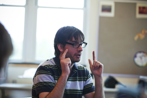
A BCDS math teacher named Rob also joined us and provided some valuable criticism and hand gestures (CC-SA by jeanbabtisteparis):